UPPER & LOWER STOUT LAKES Trail
Hiking & Hot Springs
MOUNT PRINCETON HOT SPRINGS RESORT
ALPINE LAKES.
UPPER & LOWER STOUT LAKES.
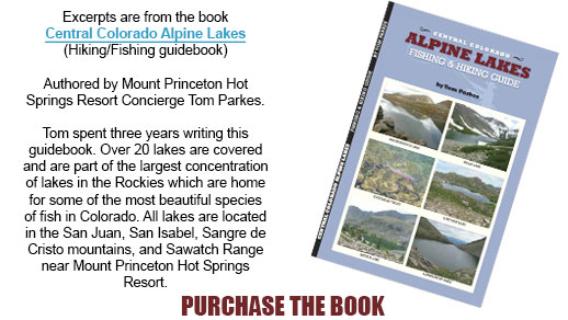
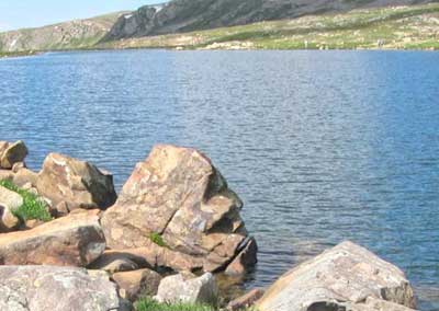
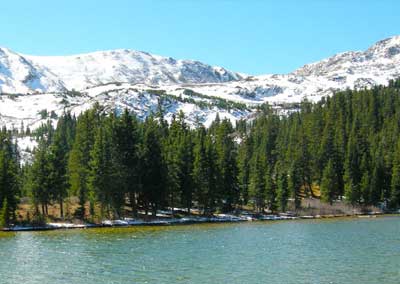
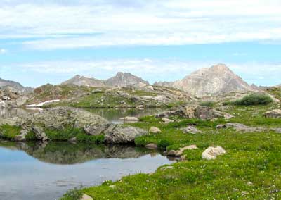
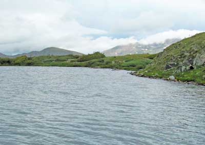
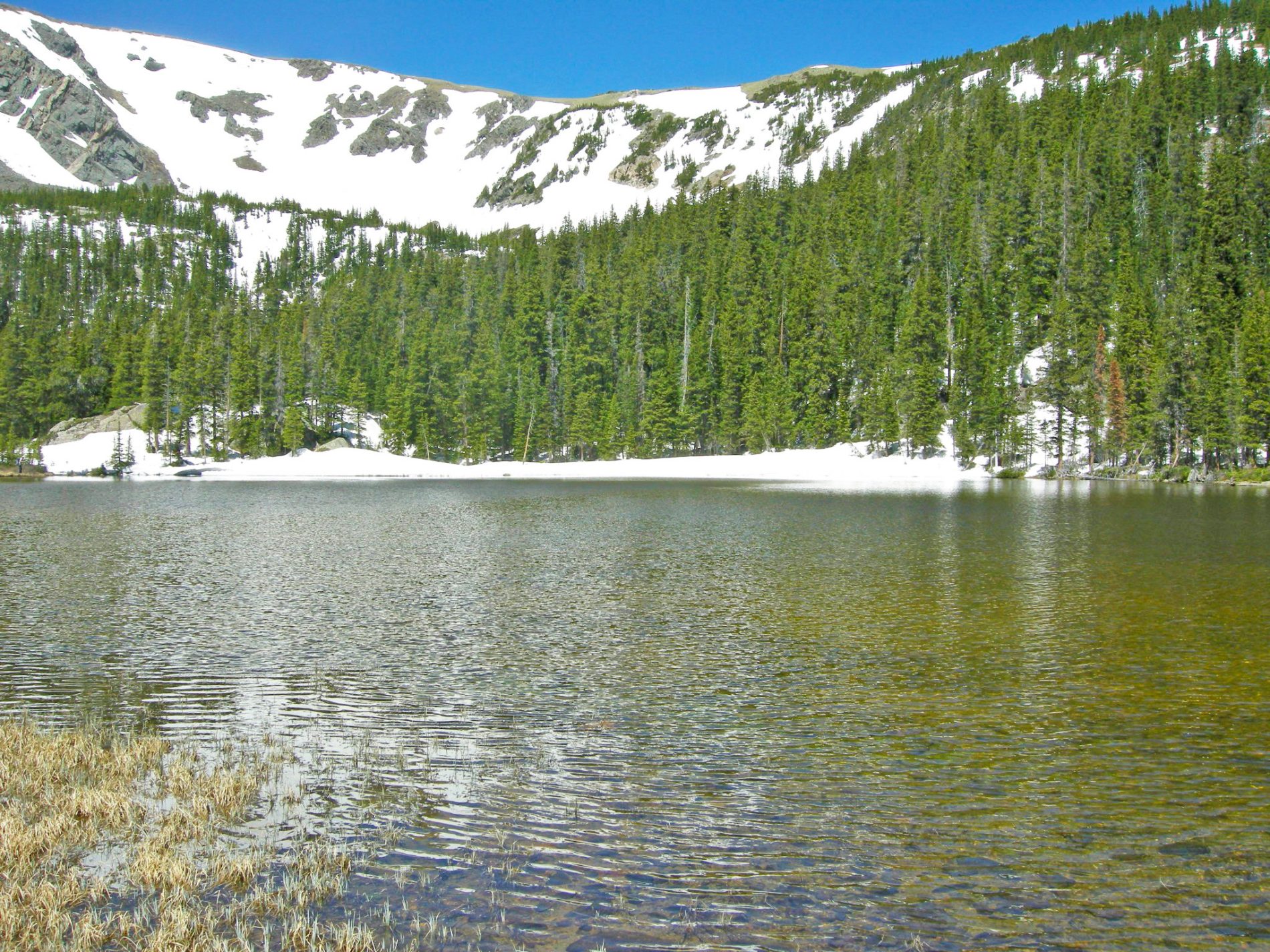
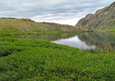
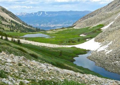
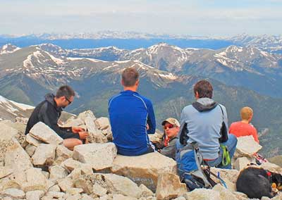
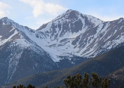
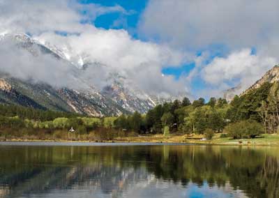
This is a fairly difficult hike over five miles (one way) and exceeds 3,000 vertical feet. The lower lake has the larger cutthroats where grasshopper and ant patterns have been very productive. The upper lake is a 15-20 minute hike and sits just under Twin Sisters Peaks (12,687 ft) which are located West of the lakes. The lakes are above timberline and weather must be monitored. The trails into these lakes are predominately climbers trails (virtually straight up) so more difficult to climb than most. The upper lake sits in a cirque below Twin Sisters Peaks. Coyotes are abundant around the upper lake so if you have furry friends keep a watchful eye on them. The county roads and trailhead information can be found in a guidebook “Central Colorado Alpine Lakes“.
Stout Lakes Trailhead:
About The Author
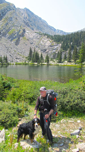 Tom Parkes spent 12 years fishing, hiking, and camping at these alpine lakes, enjoying the solitude and scenery surrounding them. For the most part, these lakes have trails leading to their locations on public land and are open to everyone will ing to expend the effort to hike to them. The most prominent lakes are located in the San Juan, San Isabel, Sangre de Cristo, and Swatch Mountain Ranges.
The best times to hike into these lakes are from late May thru November with lower elevations best done in early and late season. July, August, and September are the best months to reach the higher lakes. To successfully complete these treks, physical conditioning and preparation are very important. The following items are essential: adequate water (at least 1.5 liters per person per 5-6 hours}, compass and topo map, sunscreen, adequate food, protective clothing for cold and wet weather (backup socks/have gloves}, flash light, matches or lighter, whistle, mosquito repellant, aspirin, and a CD for reflective device. Included in this pack of course is the essential fishing gear including a four-piece 5-6 weight rod and reel, for windy conditions I have always had a spin-casting rod and reel with clear plastic bubble. My arsenal of flies is both dries and nymphs. Parachute Madam X is an excellent dry fly and most midge nymphs with wooly bugger patterns are normally productive.
It is important to know what to expect in terms of distance and elevation profiles. A GPS or Topo Map complete with routes up and into the lakes are crucial. Also, it is prudent to be familiar with what I call "points of caution" when hiking into these lakes. Elevation gain and altitude can greatly change the difficulty of the hike.
10 Hiking Essentials
- Water (1.5 Liters per person per 5-6 hours)
- Snacks (Beef Jerky, nuts, power bar)
- Navigation (map and compass and/or GPS)
- Sunscreen
- Extra clothing (hat, socks, gloves)
- First aid supplies
- Light (headlamp or flashlight)
- Fire starter and matches/lighter
- CD Rom or mirror, whistle, mosquito repellant
- Emergency shelter (Biffy Bag)
LOCAL HIKES.
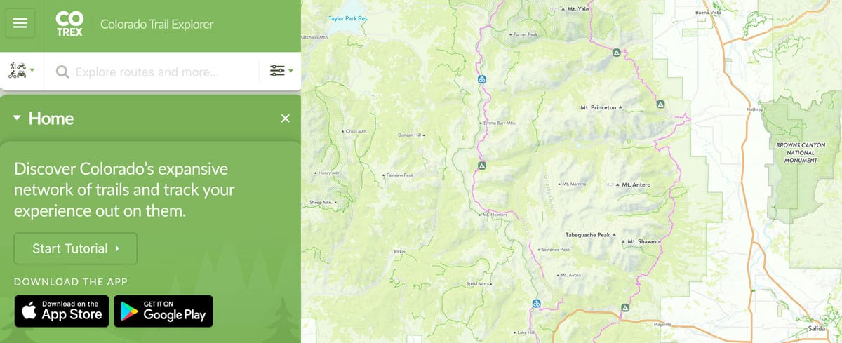
12 popular trailheads in the Nathrop area with hikes for all abilities and age levels. Surrounding areas have additional options for exploring our beautiful valley.
Surrounding Towns
Buena Vista, Colorado
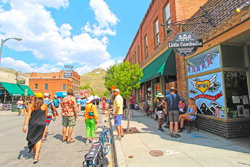
Buena Vista, Colorado is just 9 miles from Mount Princeton Hot Springs Resort. This unique mountain town is located on the Arkansas River. There are many shopping opportunities along with restaurants, a brewery and a distillery. LEARN MORE
Salida, Colorado
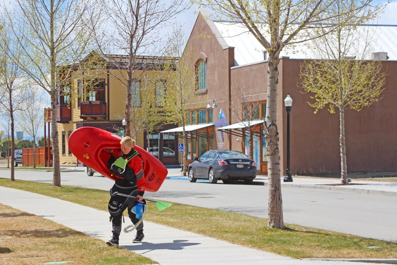
Salida, Colorado is 21 miles from the resort. This is Colorado's largest National Historic District. Dine on the banks of the Arkansas River and explore the many art galleries in this historic downtown. This area was named Colorado's first Creative Arts District. LEARN MORE

