MOUNT PRINCETON Trail
Hiking & Hot Springs
MOUNT PRINCETON HOT SPRINGS RESORT
MOUNT PRINCETON 14,197 FEET.
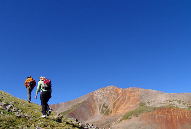
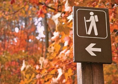
HIKING MOUNT PRINCETON.
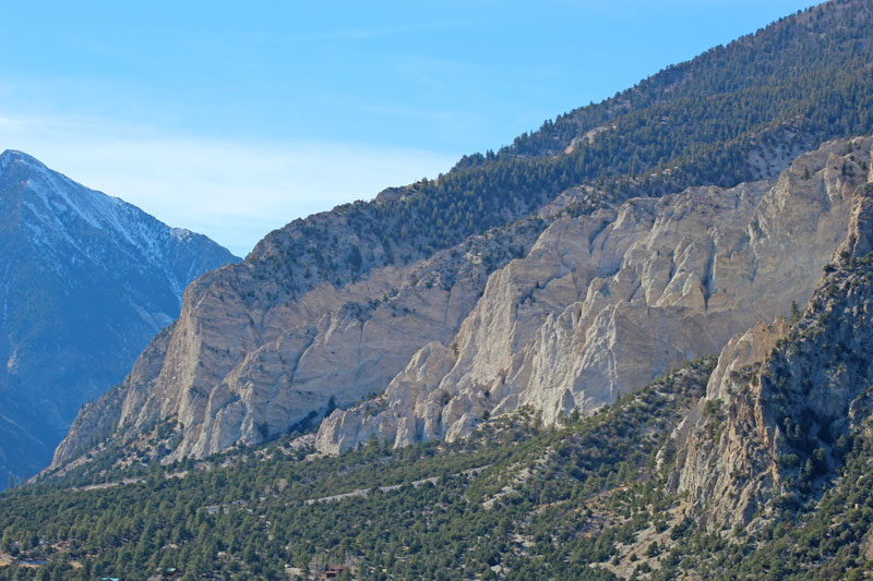
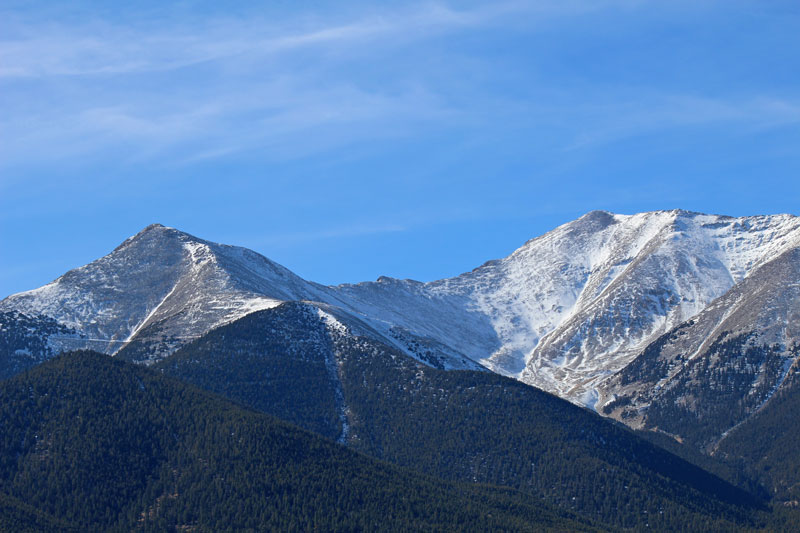
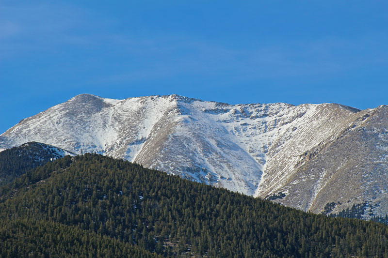
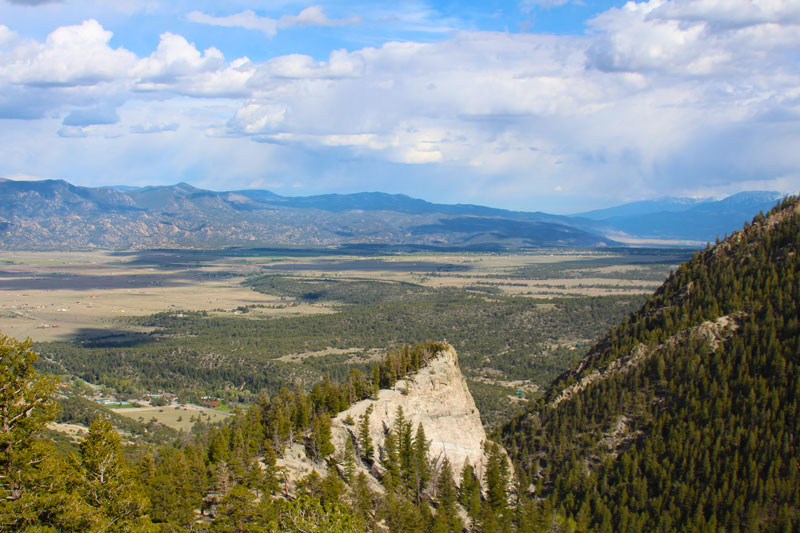
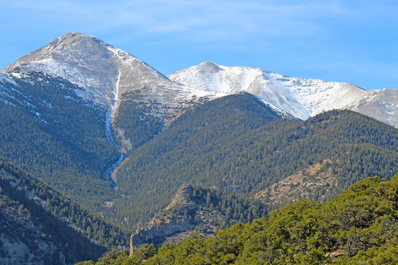
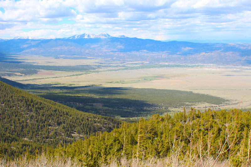
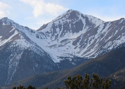
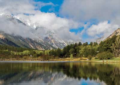
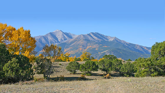 Mount Princeton rises dramatically from the upper Arkansas River valley, its 14,204-foot summit a stately sentinel over the land below. The mountain is one of a dozen fourteneers – mountains over 14,000 feet tall – found in Chaffee County. Mount Princeton carries many distinctions, both historic, geological and recreational. The mountain is a stunner, and many a driver coming over Trout Creek Pass has been left open-mouthed by the sudden sight of Mount Princeton towering over the valley. In the morning, alpenglow bathes its flanks in the rose-colored sunlight of early dawn. As the sun sets, the mountain is illuminated from the west, rays of light beaming from behind its backlit crags.
Trailhead
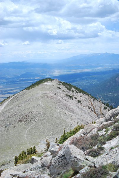
The standard route approaches Mount Princeton from the east. The two-wheel-drive trailhead is at the end of CR 322; high-clearance vehicles can continue to the radio towers. The road offers few opportunities to turn around, and becomes much rougher after the radio towers.
Directions
Follow CR 322 east, staying on the main road. Continue on the road as it leaves treeline after the radio towers. The footpath to the summit begins on the right of CR 322, and is marked by rock steps and a cairn. Follow the trail over alpine tundra, approaching the top of a ridge. From here, the trail winds through talus, eventually climbing left to more stable rock on the ridge crest. Continue upwards along the ridge to Mount Princeton’s summit.
- Distance 13.25 miles round trip from the two-wheel-drive trailhead; 6.5 miles from the radio towers.
- Difficulty Strenuous, especially when departing from the lower two-wheel-drive trailhead.
- Elevation gain 5,400 feet from the lower trailhead; 3,200 feet from the radio towers.
- Hiking time Allow for one mile per hour, though this may vary greatly depending on physical fitness and altitude acclimation.
- Best months May-September, depending on snowpack
Tips
Afternoon thunderstorms are common during the summer. Hikers should plan to depart the summit by noon at the latest. Many leave the trailhead at dawn to avoid storms.
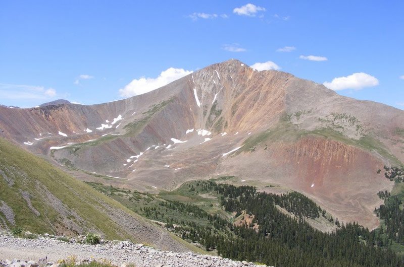
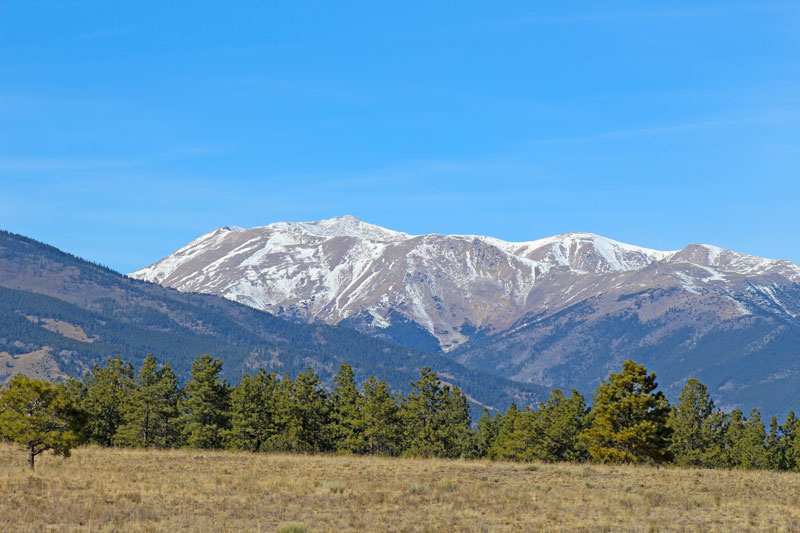
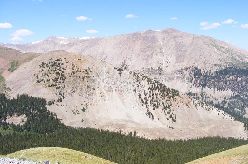
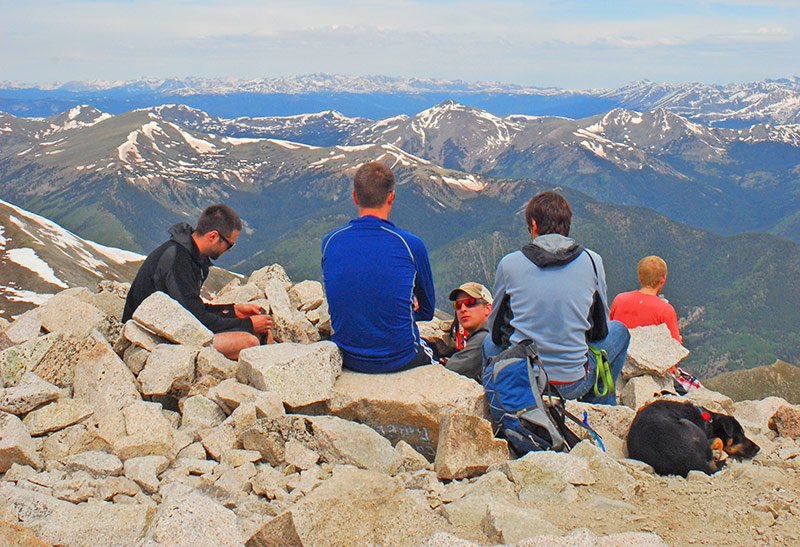
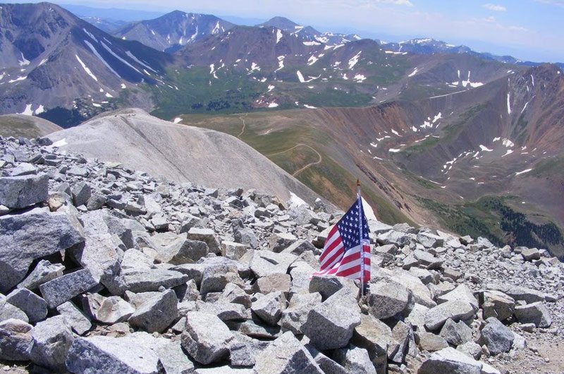
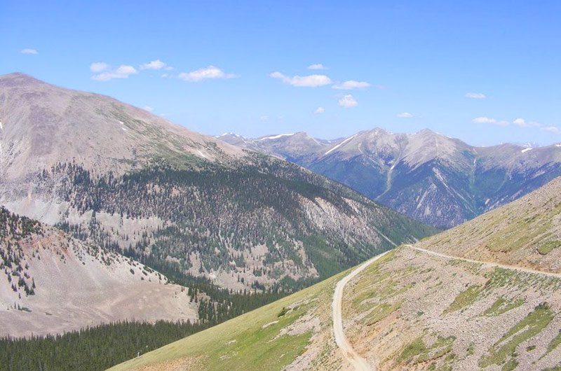
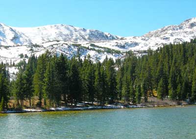
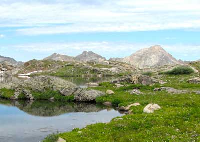
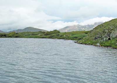
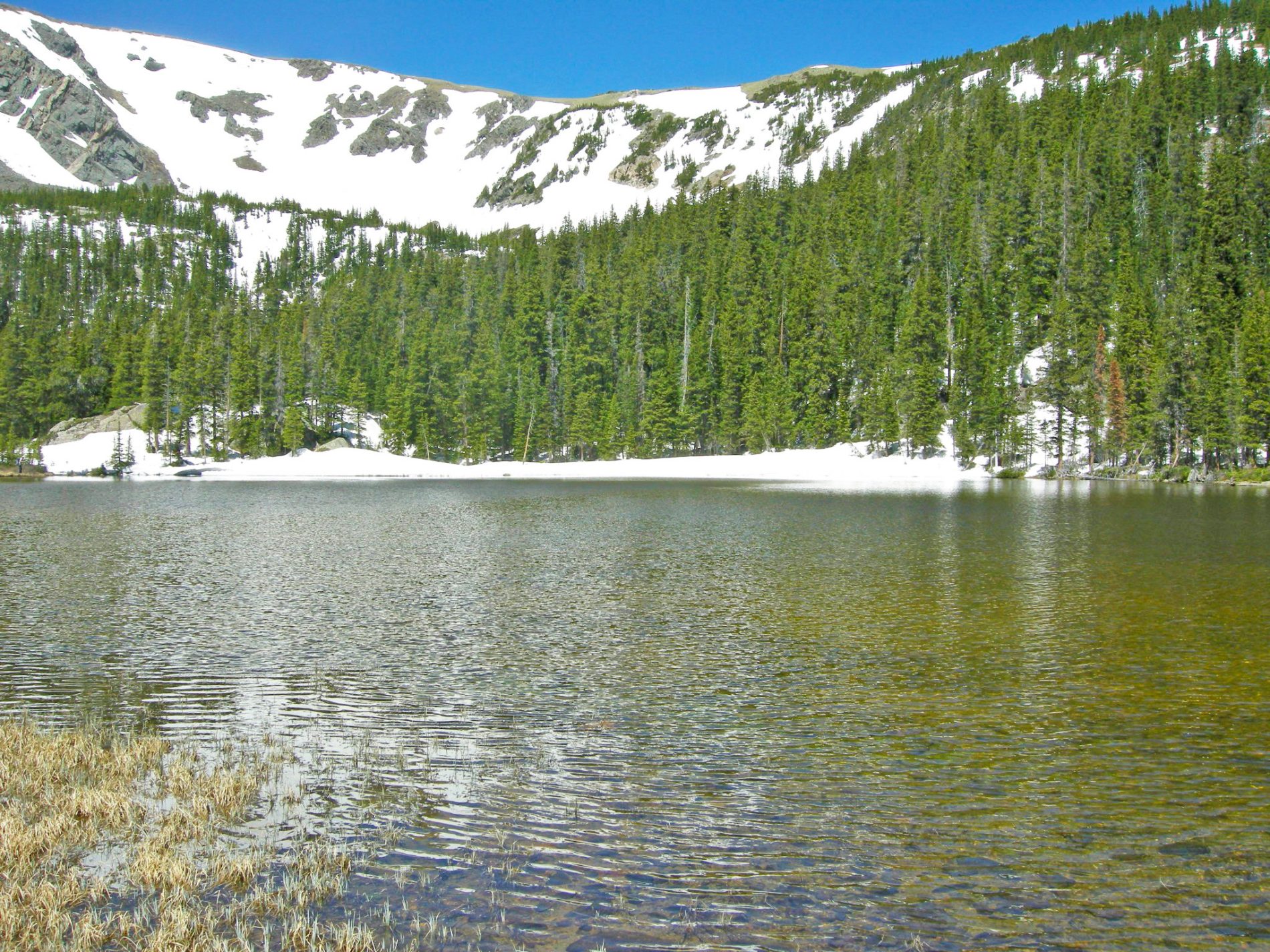
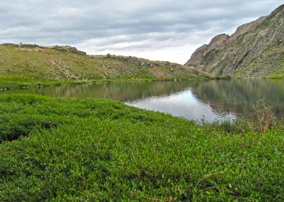
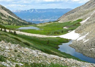
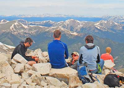
PHOTO GALLERY HIKING.


SAWATCH RANGE FOURTEENERS
(Peaks over 14,000 feet in elevation)
- Mt. Elbert 14,433
- Mt. Massive 14,421
- Mt. Harvard 14,420
- La Plata Peak 14,336
- Mt. Antero 14,269
- Mt. Shavano 14,229
- Mt. Princeton 14,197
- Mt. Belford 14,197
- Mt. Yale 14,196
- Mt. Tabeguache 14,155
- Mt. Oxford 14,153
- Mt. Columbia 14,073
- Missouri Mountain 14,067
- Mt. Huron 14,005
- Mountain of the Holy Cross 14,005
10 Hiking Essentials
- Water (1.5 Liters per person per 5-6 hours)
- Snacks (Beef Jerky, nuts, power bar)
- Navigation (map and compass and/or GPS)
- Sunscreen
- Extra clothing (hat, socks, gloves)
- First aid supplies
- Light (headlamp or flashlight)
- Fire starter and matches/lighter
- CD Rom or mirror, whistle, mosquito repellant
- Emergency shelter (Biffy Bag)
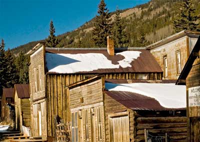
LOCAL HIKES.
12 popular trailheads in the Nathrop area with hikes for all abilities and age levels. Surrounding areas have additional options for exploring our beautiful valley.
Trail Etiquette
Care For Colorado
The Etiquette of Poop
Colo-Ready
Trash The Trash
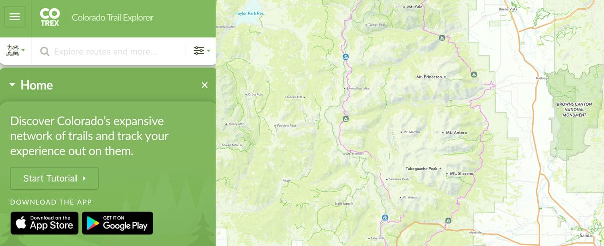
COLORAO TRAIL APP
Respect Wildlife
Surrounding Towns
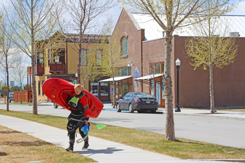
Buena Vista, Colorado
Buena Vista, Colorado is just 9 miles from Mount Princeton Hot Springs Resort. This unique mountain town is located on the Arkansas River. There are many shopping opportunities along with restaurants, a brewery and a distillery. LEARN MORE
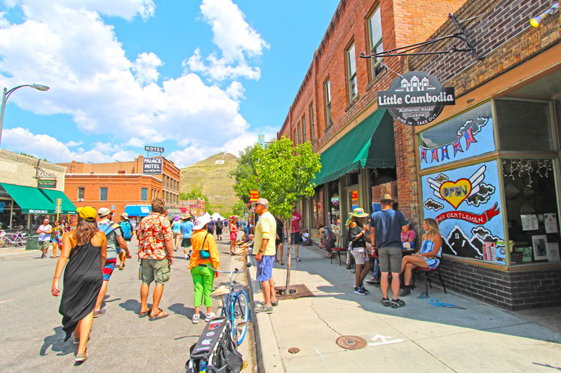
Salida, Colorado
Salida, Colorado is 21 miles from the resort. This is Colorado's largest National Historic District. Dine on the banks of the Arkansas River and explore the many art galleries in this historic downtown. This area was named Colorado's first Creative Arts District. LEARN MORE
![]()
Mount Princeton Hot Springs Resort
Phone: 719-395-2447
15870 County Road 162 Nathrop, Colorado 81236-9703
X
![]()
Follow Us:


